|
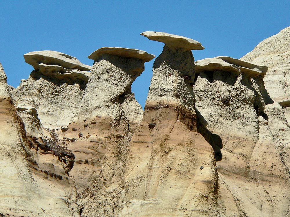
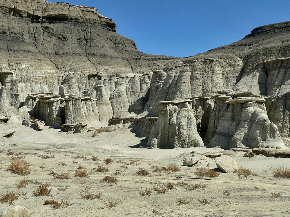
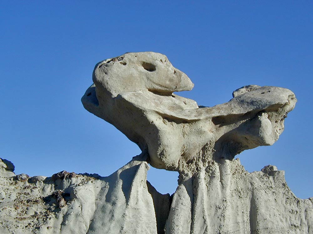
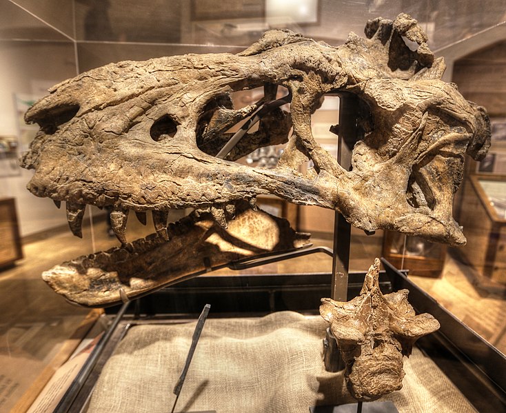
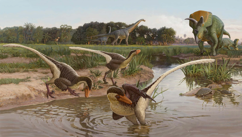
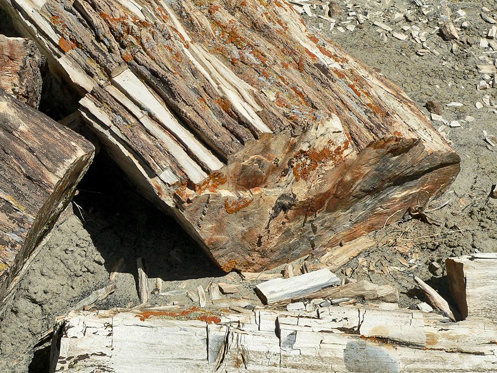
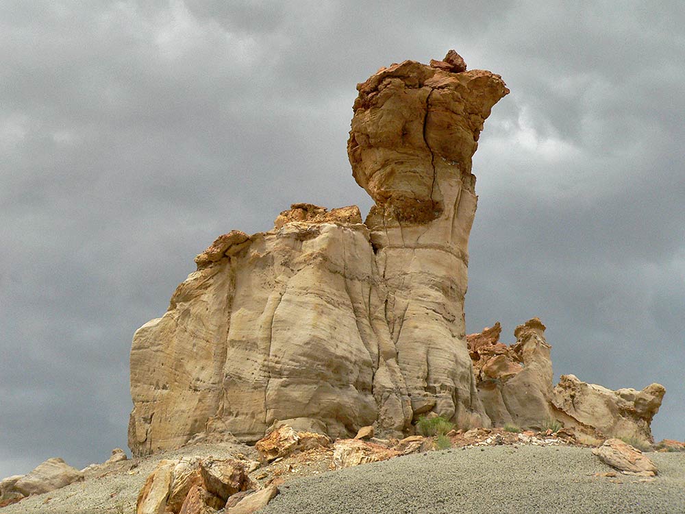
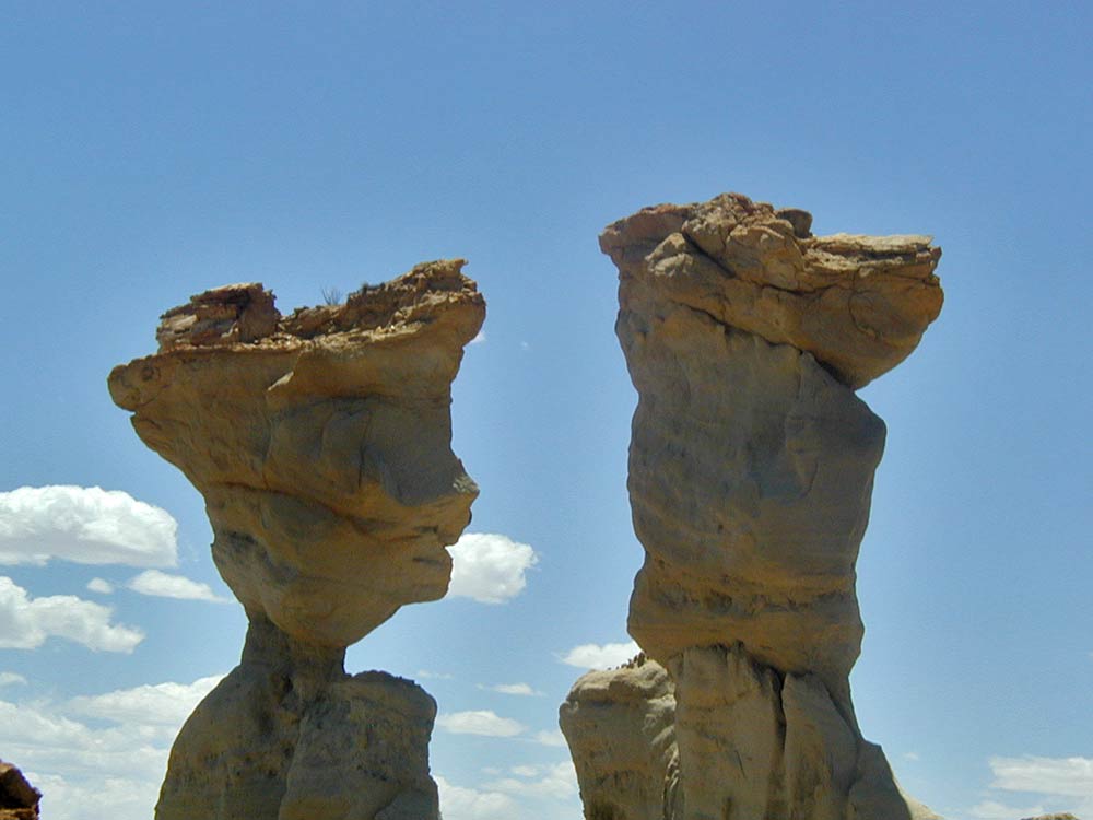
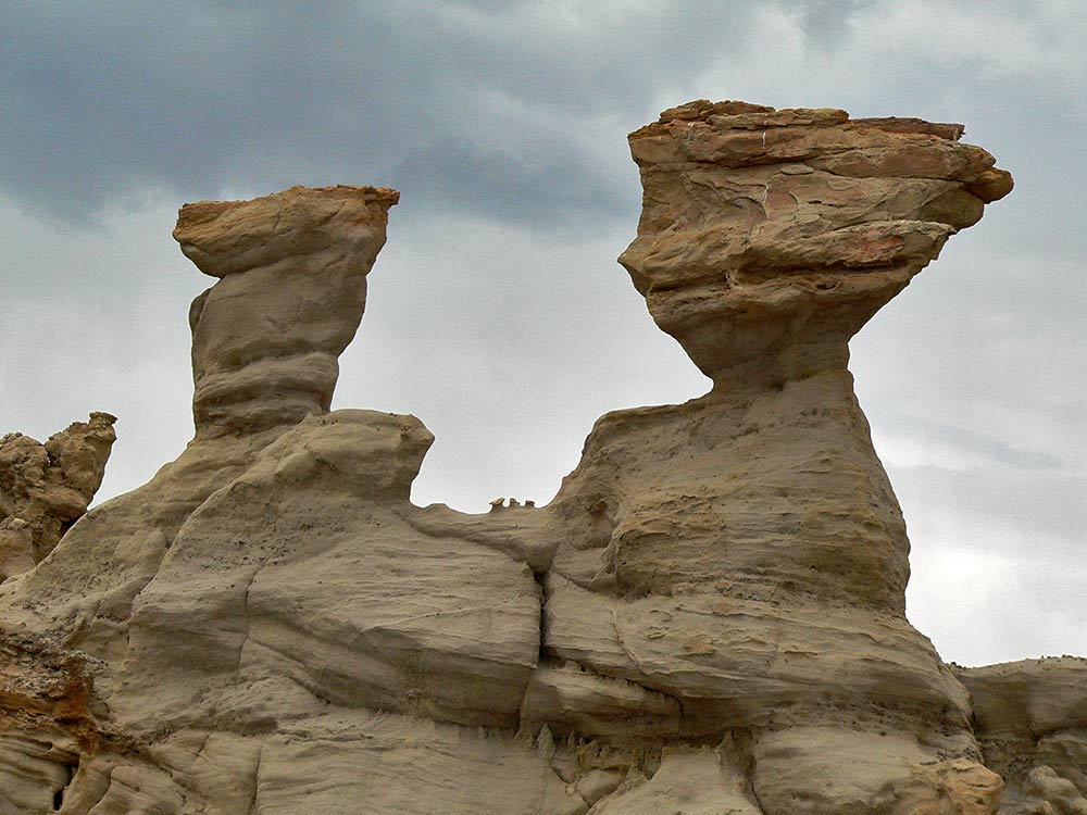
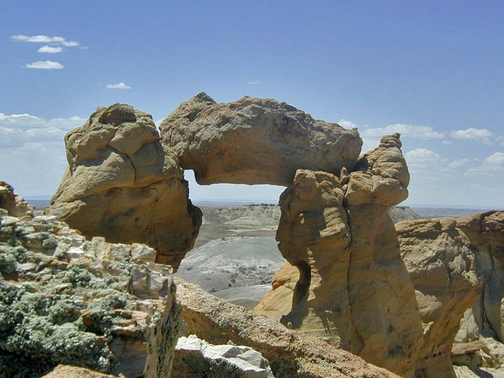
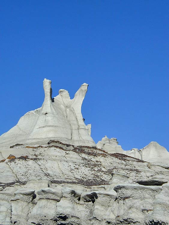
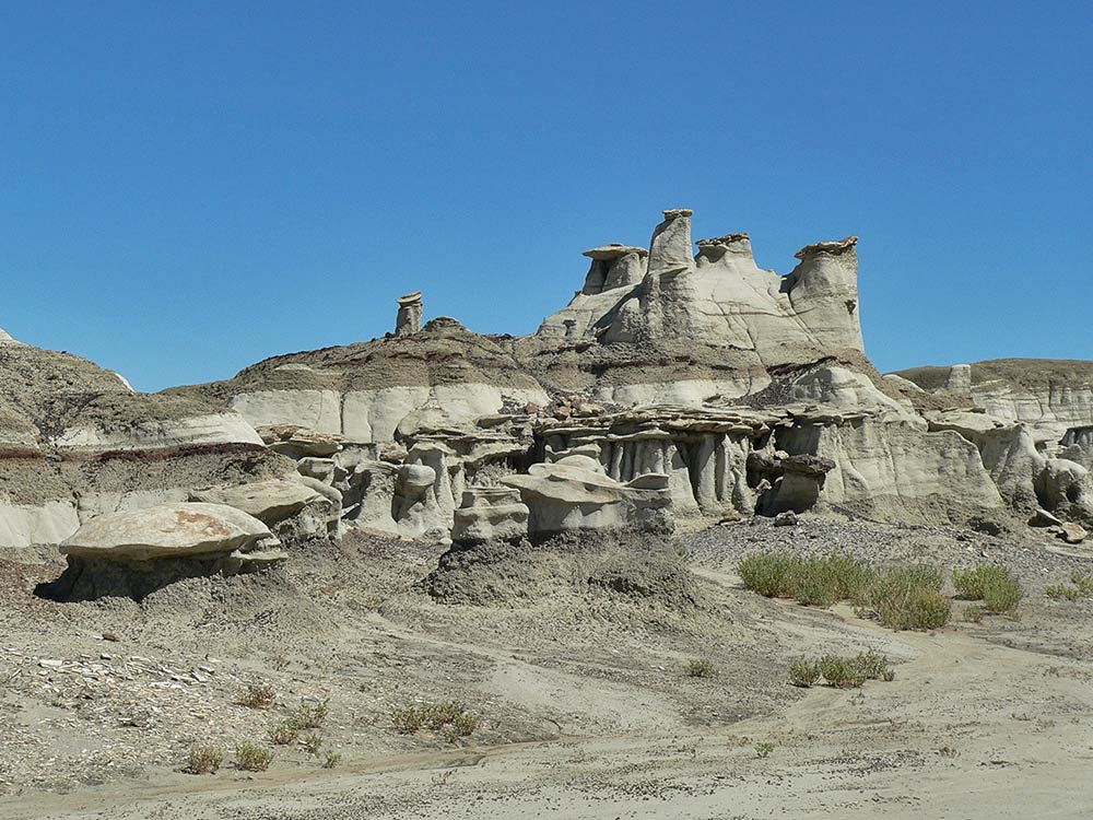
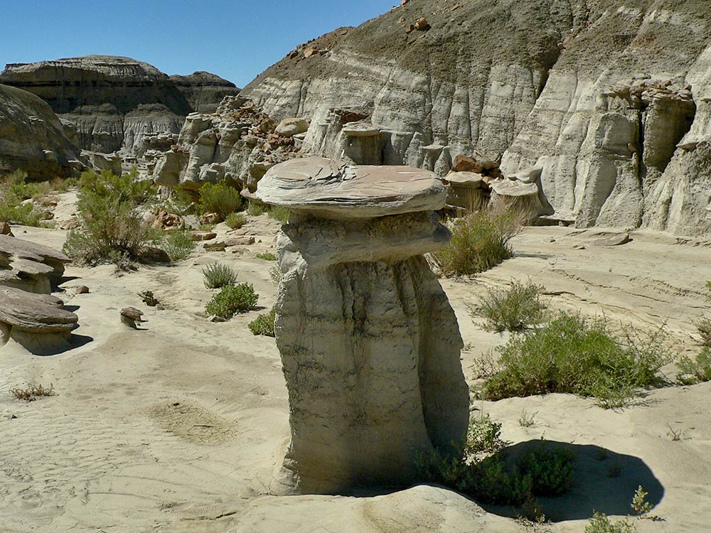
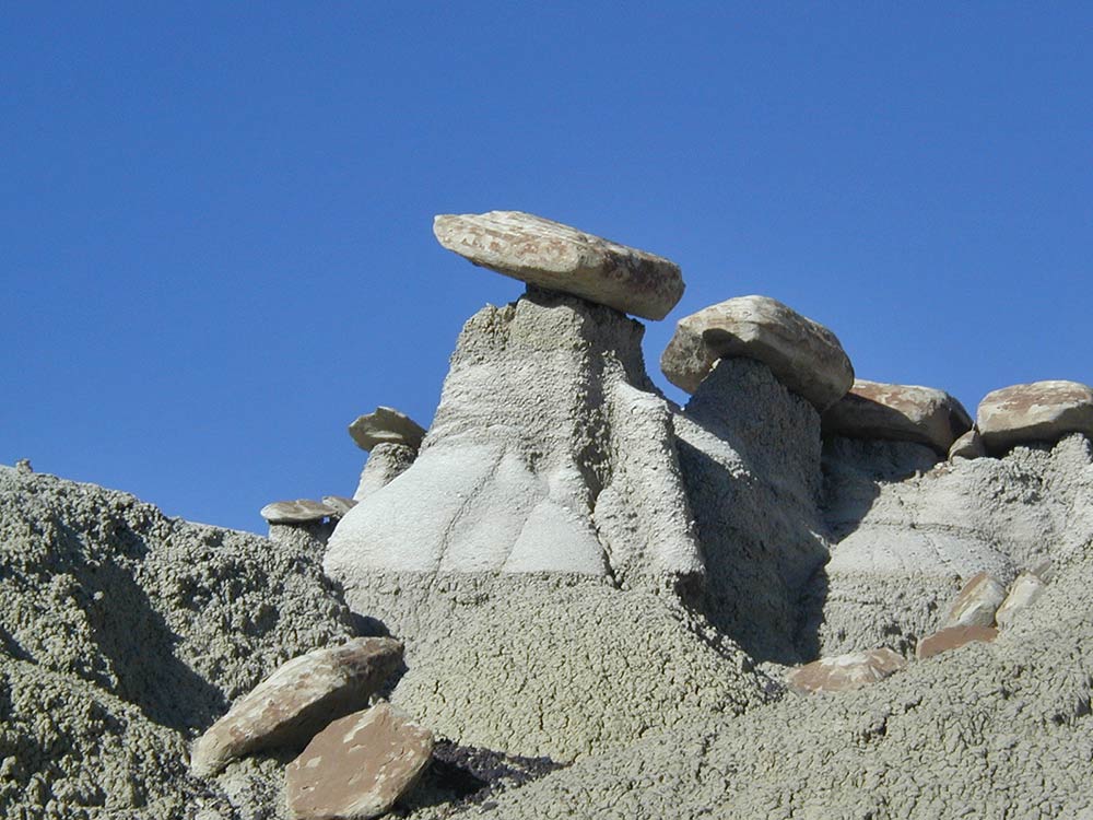
By Jessica Rath Northern New Mexico has its fair share of strange and unusual landscapes, but nothing can top the badlands south of Farmington in terms of being otherworldly, bizarre, and utterly surreal. The 45,000 acres belong to the most unique scenic areas on this earth. A quick note about the pronunciation: when I first heard about the badlands, people always pronounced Bisti the way you pronounce “misty”: the stress is on the first syllable, ˈmɪs.ti. But that’s incorrect, the name comes from the Navajo word bistahí which means “a large area of shale hills” and is pronounced “Biss-tah-HEE”, from what I could gather. De-Na-Zin, from the Navajo word Dééł Náázíní, means “Standing Crane”. The desolate, semi-arid terrain is adorned with magnificent rock formations and stunning colors: mushroom-shaped hoodoos (also called tent rocks or earth pyramids) are ubiquitous, as are spires, stone pillars, and pedestals suggestive of castles and mystical figures. Huge logs of petrified wood, adorned with patches of brilliant colors: yellow, orange, rust, and red dot the landscape. Layers of sandstone, coal, silt, mudstone, and shale form distinct stripes of mauve, greys, beige, rust, and bronze. Abundant fossils of dinosaurs, crocodiles, turtles, fish, and even mammals have been found. There’s actually a dinosaur called Bistahieversor, which means “Bistahi destroyer”, known also as “Bisti Beast”. They belong to the Tyrannosaurus family and lived some 75.5 to 74.5 million years ago, in the Late Cretaceous Epoch. It’s estimated that the animals were up to 30 feet long and could weigh nearly 3 tons! The Bisti Beast has been found only in New Mexico. It’s hard to imagine that today’s barren badlands once hosted abundant vegetation and animal life. We’ll have to look back millions of years – approximately 74 million. Actually, one has to start even further back: at the time of the Western Interior Seaway which connected the Arctic Ocean with the Gulf of Mexico and split the Northamerican continent into two landmasses. Just imagine – what is New Mexico today, was covered by a shallow sea! That was 100 million years ago. At its largest extent, it was 2,500 feet (760 m) deep, 600 miles (970 km) wide and over 2,000 miles (3,200 km) long. In the late Cretacaeous the sea levels fell several times and created swamps with lush plants and prehistoric animals. Eventually the water completely disappeared. Massive amounts of plant matter and organic material became compressed over time and left a 1400-foot layer of mudstone, shale, sandstone, and coal. And then erosion gradually formed the spires, towers, and hoodoos. They exist because everything around them has eroded. The mushroom-like caps and thin stems of the hoodoos for example are made of harder material and withstood the wind, rains, and floods that washed out the softer stuff. The area around Bisti and De-Na-Zin is about 6,500 feet above sea level, but the badlands are about 200 - 400 feet below that. After the last ice age some 6,000 years ago the floods which resulted from the melting ice washed much of the sandstone away and revealed lots of fossils, petrified wood the size of huge trees, and the bizarre and unique formations so worth a visit. Paleontologists have found that the area has been occupied by humans since at least 10,000 BC. The prehistoric Great North Road, which connected many ancestral pueblos belonging to the Chacoan Anasazi, crossed the Bisti/De-Na-Zin Wilderness. A woman and her horse maybe? Taken on two different days, from opposite sides. Each time I visited – always with one or two friends – I didn’t meet another soul. The area is truly desolate, and you better come prepared. There are no services, there is no water, there is no shade; no marked trails, no signs. Better not to expect a visitor center, and cell phone reception is sketchy. Depending on the time of the year, daytime temperatures can be rather hot. Plenty of water, sunscreen, a hat, and a GPS or compass are absolute necessities. Don’t forget sturdy shoes – while it is fairly easy to follow the main washes and there isn’t much climbing involved, the ground can easily crumble and you should make sure that your ankles are well supported. Another thing to be aware of: the unpaved access road can become extremely slick when it rains and driving is almost impossible. I learned this the hard way on one of my visits. While we were hiking, it started to pour and soon everything was soaking wet. Well, no big deal, I thought – after all my car has four-wheel drive. So we took off, but the tires were immediately caked in mud, without any tread – I was spinning around and sliding, getting all worked up in the process. Steering was impossible and I slowed down, but that was a bad idea, because soon I was stuck – literally stuck in the mud! We were lucky. Although the area is sparsely populated, a car showed up shortly after I had dug myself into the clay-like gloop, and a friendly couple stopped to help. The man soon managed to get my car free and I drove on for a bit, trying my best not to get stuck again. The couple followed behind us, keeping an eye on my progress, but soon I saw them flashing their lights – they wanted me to stop. The reason: they had noticed that my right front wheel was loose; it leaned at a 45-degree angle! We had to call a tow truck. This was harder than it sounds, because there was no cell phone reception where I got stuck. The helpful couple drove my friend further up the road, they knew a spot with higher elevation where phone calls were possible. And I sat in the car and waited, bemoaning my bad luck… As it turned out, we were actually quite fortunate. When the tow truck from Bloomington arrived, the driver told us that we should count our blessings: he was the only towing company in the whole area with a four-wheel tow truck, and without that, he said, he would have never come out: it’s more slippery than ice, he said, and a rescue would have been impossible. But more importantly, on a dry road the wheel might have held until we reached the freeway, US 550, where the speed limit is 70 miles/hour. Which means I would have driven close to 80. Quite likely, the wheel may have come off, causing a serious accident. Just be sure to check the weather report before you visit the Bisti/De-Na-Zin Wilderness, and it’ll be an immensely rewarding adventure. Note: BLM Rules
6 Comments
Mary Jane Skala
5/3/2024 08:38:58 am
Back in 1965, my Methodist Church youth group came out to Farmington to work for two weeks at what was then the Navajo Methodist Mission School. We camped out one night at Bisti after attending a Navajo church service in a quonset hut. We cooked supper there (hot dogs?) and sang around the campfire. I will never forget that night, about 30 teenagers and chaperones in sleeping bags circled around the fire. Unforgettable.
Reply
Jessica
5/6/2024 04:16:10 pm
What a lovely experience; thank you for sharing this memory with us, Mary Jane!
Reply
Mary Montoya
5/3/2024 12:23:32 pm
Very interesting article! Lived in Farmington for about 8 years and saw this area often. We specially like seeing the “angel”. Thank you again for a most intriguing area!!
Reply
Jessica
5/6/2024 04:20:35 pm
I agree, Mary, a most intriguing area. How fortunate to live close by and become quite familiar with this wild scenery. Yes -- that's what I see to, an angel.
Reply
Zoe
5/3/2024 12:51:43 pm
Great article ;)
Reply
Jessica
5/6/2024 04:21:30 pm
Thank you, Zoë!
Reply
Your comment will be posted after it is approved.
Leave a Reply. |
Submit your ideas for local feature articles
Profiles Gardening Recipes Observations Birding Essays Hiking AuthorsYou! Archives
October 2025
Categories
All
|
 RSS Feed